| Caution! All the described sites are private properties or belong to
regulated public domains (natural reserves, forests…). An
authorization preliminary to any visit or excavation is of course
absolutely mandatory.
Coordinates
Parc Mont Fat - souterroscope : 31U 637000E 5567500N
Parc Mont Fat - souterroscope - "grotte la Merveilleuse" : 31U 637000E 5567500N
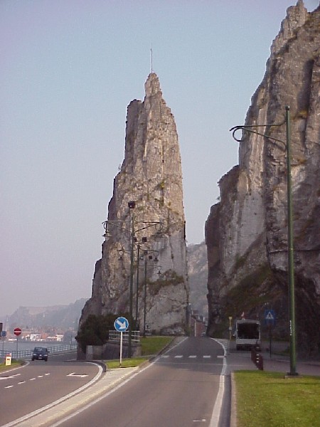
rocher "Bayard" : 31U 636800E 55690000
|
Description - G�ologie
|
 |
|
Aerial Views
|
|
click on pictures to enlarge.
© Pictures : MJX, except otherwise specified.
|
Panoramic Views
|
|
click on pictures to enlarge.
© Pictures : MJX, except otherwise specified.
|
Pictures
|
|
click on pictures to enlarge.
© Pictures : MJX, except otherwise specified.
|
Links-miscellaneous
|
|
thank you to send us error and/or new link.
Id |
Link |
Remark |
713
| |
|
1720
| |
|
1721
| |
|
1902
| |
|
2125
| |
|
|